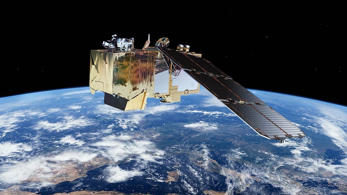
Mount Grace is pleased to announce that we received a $13,000 grant from the Land Trust Alliance to add remote monitoring to our stewardship toolbox. Remote monitoring uses satellite imagery rather than boots on the ground to monitor for ecological and physical changes to our conserved lands.
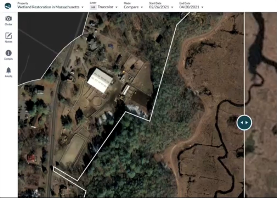
Currently, Mount Grace visits each of our conserved properties each year to ensure that the conservation restriction is being followed. Monitors can spend hours traveling to and from and walking through the property. Depending on the size of the parcel, monitors may only be able to visit a small portion of the property during their visit. Moving forward, we will use satellite imagery to target our on-the-ground work to areas of concern. We will also be able to monitor in person every couple of years, rather than every year, and use remote monitoring on the off years. This will not only save time and stewardship capacity, but it will also reduce our carbon footprint by approximately 0.46 metric tons (Mt) of CO2 per year.
Monitoring in person every couple of years means that we will be able to invest more resources in maximizing our land protection impact. We will have more time to spend with landowners and address their questions and concerns. We will also be able to share what we learn from the analysis of the satellite images.
Imagery available by satellite will give us additional capacity to answer some of our broader ecological questions. For example, the infrared imagery from the Sentinel-2 satellite will allow us to track the phenology of the forest through when the leaf out happens in the spring and when the leaves drop in the fall. It will also alert us to any changes in photosynthesis throughout the season which could indicate stress due to abiotic or biotic changes, such as drought or insect infestations.
Satellite imagery will also help us mitigate and adapt to climate change impacts. Increasing rainfall intensity is a major impact in our region and it is hard to monitor spatial changes in surface water hydrology from the ground. This technology will help us to identify both where protected lands are being damaged and where new parcels could be targeted for conservation to build resilience to climate change.
We intend to offer this knowledge to local land trusts and municipalities, partnering with them to inform local climate change plans.
This is a new endeavor for Mount Grace and we encourage you to reach out to us at albertine@mountgrace.org with any questions, thoughts, or concerns.