Hiking
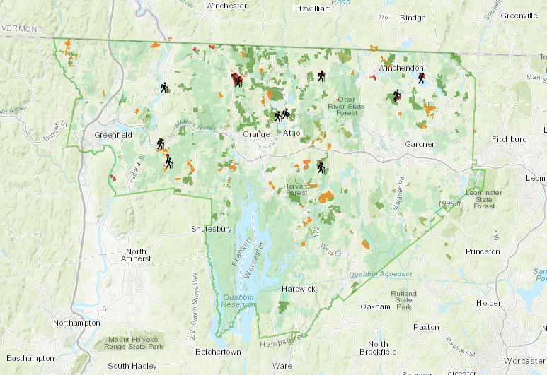
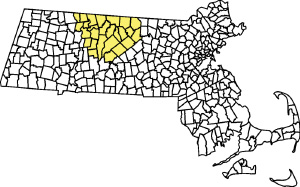
Join us for a vigorous hike or a leisurely walk on one of our conserved properties in our unique and gorgeous North Quabbin region. You can explore one of the Mount Grace conservation areas or walk on private land protected and made open to the public by generous landowners. Enjoy the wildlife, serenity, and many health benefits of the outdoors.
If you identify a trail hazard or want to report something on our trails, please use our contact form.
Trail Maps
 File size: 1 MB
Alderbrook Meadows Trail Map.pdf
File size: 543 KB
Baldwin Hill Conservation Area Trail Map NQTA
File size: 179 KB
Cutthroat Brook Tree Farm Trails Map
File size: 1 MB
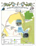
Dexter Park Learning Loop-kiosks
File size: 1 MB File size: 710 KB
 File size: 735 KB
 File size: 1 MB
 File size: 700 KB
 File size: 1 MB
 File size: 422 KB
 File size: 818 KB
 File size: 243 KB
 File size: 637 KB
 File size: 5 MB
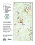
Tom Swamp Research Forest Trail Map
File size: 1 MB File size: 4 MB


