Hike of the Month: Washbowl Falls

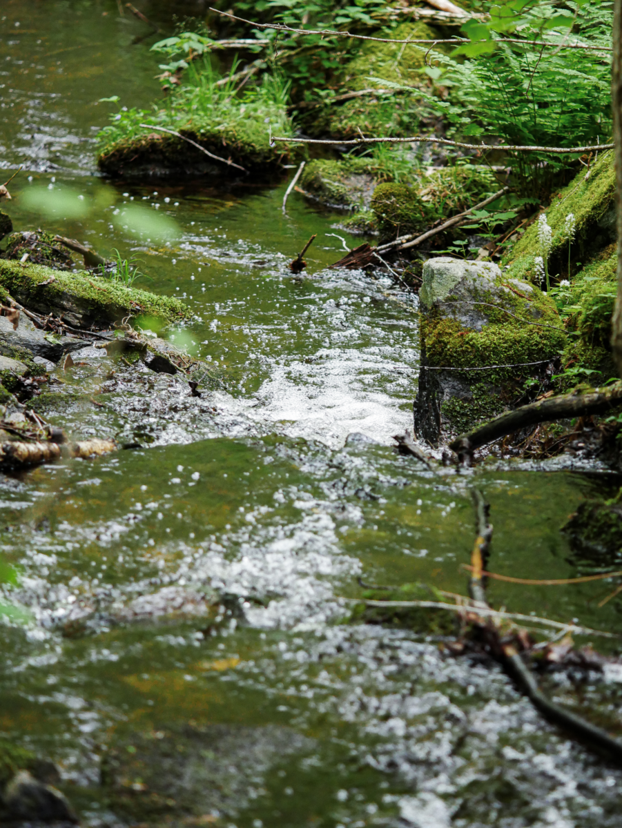
If you’re a loyal follower of our Hike of the Month series—1. You’re awesome, and 2. You’ll know we recently featured the Arthur Iversen Conservation Area in Warwick, MA. But we couldn’t resist featuring it again this June, because Washbowl Falls is – at least for a little while – rushing at full force. Before this spectacular seasonal waterfall slows to a trickle, you’ve got to get out there and see it for yourself.
Check out our recent video of the falls here.
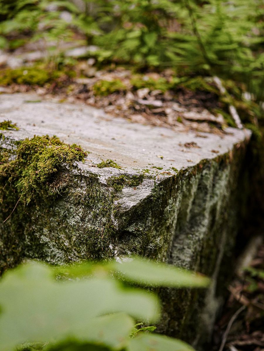
The Arthur Iversen Conservation Area in Warwick is a 600-acre paradise for anyone who enjoys our region’s forests, especially when brooks, wetlands and waterfalls are included. In spring, Washbowl Falls roars to life. Before you catch a glimpse of it, you’ll hear the roar of its fast-moving waters. And once you descend into the dramatic, boulder-strewn basin it calls home, the name “Washbowl” will make perfect sense.


Two ways to explore Washbowl Falls
You can explore Washbowl Falls by hiking the full 2.3-mile loop trail or opting for a shorter 0.7-mile out-and-back hike. To complete the full loop, park at the southern trailhead on the west side of Gale Road. For a quicker and more direct route to the falls, park farther north along Gale Road near the trail sign that says “Washbowl 0.7 mi.” You can find our printable PDF trail map here.
Full Loop:
- Distance: 2.4-miles
- Type: Loop
- Elevation Gain: 315 feet
Shorter Segment:
- Distance: 1.4-miles
- Type: Out-and-back
- Elevation Gain: 200 ft

Directions
67 Gale Rd, Warwick, MA 01378
From the junction of routes 2A and 78 west of Orange center, follow Route 78 north to Warwick center. Turn right on Athol Rd, and follow it 0.8 miles to another right on Gale Rd. Continue along Gale Rd for 1 mile to the kiosk for the Washbowl Falls trail on the right, and another 0.1 miles to the Rum Brook trail on the left.
Note: The AICA is only accessible from Athol Rd by car as the bridge to the south on Gale Rd is closed.
Parking is available on the side of Gale Road in front of trailheads.